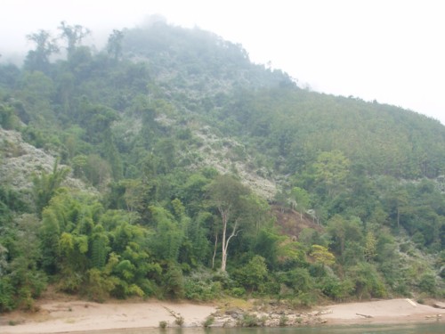
Wonder if the whitish patches are something like 'saa seua' (not sure if this is a Lahu or Thai name), a scrub-like plant with white flowers that grows in clearings in Chiangrai? Cleared plot (bottom left) & planted teak (upper half):

Many such stands of young teak trees were seen along the Nam Ou, the section of the Mekong between Luang Prabang & Pak Beng, & the roads leading from Muang Khua to Pak Nam Noi (Ban Sinxai) & from Nong Khiaw to Nam Bak. The cat was told that farmers plant them as an investment to be cashed in 30++ years later when they will be too old to work on the land, & when the youngest of their kids will need money to get married, etc.
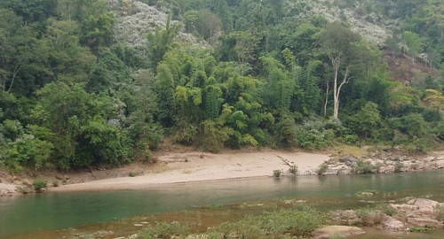
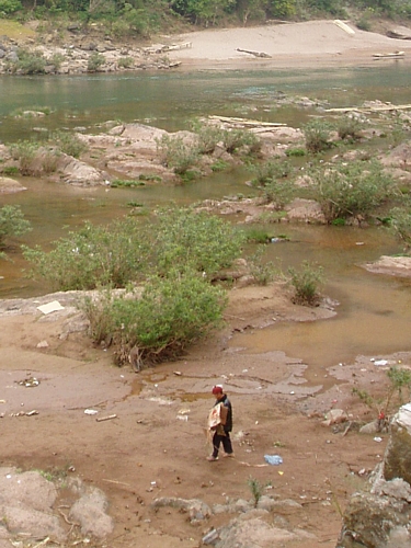
Mentally 'photoshop-ping out' those parts, the Nam Ou is a beautiful river nevertheless ;)
A protected area named after a mountain that isn't in Lao?
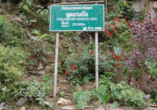
On the map, Phou Daen Din mountain is located in the adjoining Lai Cau province of Vietnam...but then again this is part of a trans-national protected area, like certain national parks in Africa. Flora & fauna live by biogeographical boundaries, not political ones.


No comments:
Post a Comment